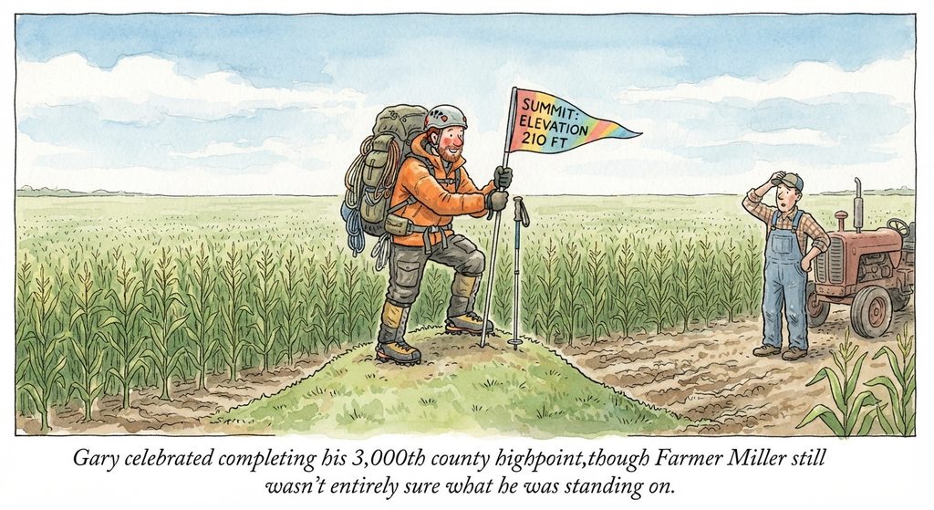
County highpointing—the pursuit of reaching the highest natural point in every U.S. county (totaling 3,143 counties)—grew out of the broader tradition of U.S. state highpointing. [1, 2, 3]
Humorous Overview
Here are some jokes about the unique triumphs and absurdities of county highpointing:
- Why do county highpointers love the Midwest? Because they can claim a summit victory while standing next to a confused cow in a cornfield.
- You might be a county highpointer if your hiking gear includes a GPS, a topographic map, and a polite speech prepared for when a local farmer asks why you are climbing over his fence.
- Why did the county highpointer get a ticket at the summit? Because the highest point in the county was a highway overpass.
- What is a county highpointer’s favorite type of mountaineering equipment? A pair of pruning shears to fight through the briars in someone’s overgrown backyard.
- How can you tell the difference between a state highpointer and a county highpointer? The state highpointer talks about oxygen depletion and glaciers. The county highpointer talks about fire ant hills and poison ivy.
- What did the county highpointer say after scaling the highest peak in Delaware? “That was a grueling hike, I almost tripped over a suburban mailbox.”
- Why do county highpointers make great detectives? They spend half their lives tracking down obscure property deeds just to find out who owns a random 40-foot hill.
Origins and Evolution
- State Highpointing Foundation: State-level highpointing began in the early 20th century, with Arthur H. Marshall becoming the first to summit all 48 U.S. state high points in July 1936, followed by Vin Hoeman, who completed all 50 states in 1966. [1]
- The Birth of the Clubs: In 1986, Jack Longacre founded the Highpointers Club to connect people focused on state high points. As state highpointers completed their primary lists, many looked for a larger and more complex geographical challenge. [1, 2, 3]
- Formalizing County Highpoints: The county highpointing movement received its major catalyst in 1994, when Tucson software developer and mountaineer Andy Martin published County High Points, a foundational guidebook documenting high points in 742 counties across 25 states. [1, 2]
- The County Highpointers Association: Andy Martin went on to establish the County Highpointers Association, creating centralized systems for research, documentation, and trip report submission for the nation’s 3,143 county high points. [1, 2]
The Scope of the Challenge
- Diverse Landscapes: County high points span every type of American terrain, from the rugged, technical summit of Grand Teton in Teton County, Wyoming, to low-lying or flat farm fields in the Great Plains, and down to just 10 feet above sea level in Terrebonne Parish, Louisiana. [1, 2]
- Community: The dedicated community of county highpointers (“COHPers”) has grown into a small, active network of enthusiasts who use specialized maps, logs, and state-by-state data compiled from resources such as the County Highpointers Association Summary. [1, 2, 3]